
Based on the data from Sheffield City Council, we produced the following map showing the existing housing stock owned by the council.
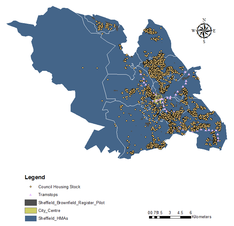
Sheffield City Council Housing Stock
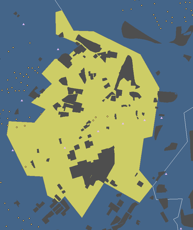
The base map uses are the housing market areas identified by the Sheffield City Council, with the city centre area highlighted in green. In the Housing and Land Act (May 2016), Sheffield City Council introduced a Brownfield Register to encourage a “call for sites” if it’s underused. After public consultation, the local authorities created a list of Brownfield sites being registered and granting planning permission (Sheffield City Council, 2017).
Comparing the locations of housing (yellow dots) and tram stops (pink triangles), we can see that most of the council housing is quite accessible. It is also interesting to find that there are only 5 council housing locations in the city centre while most of them are located outside the centre or in North ADF region. This may be as a result of the high property rents and prices in the city centre region. However, the Brownfield Register data shows that there is actually a large amount of underused land in the centre, for example the West Bar Triangle and St Vincent Church area, with some already having permission to develop, such as the new retail quarter.
We hope to be able to provide more detail about the current situation of housing in Sheffield shortly, and will produce an interactive map showing more information.
In the meantime, for more information about CLT please follow us on Twitter or Facebook.
